Road Networks Explained: Turning Geography into a Navigable Graph
How Graph Models and Routing Rules Shape Navigation, Logistics, and Urban Mobility

When you open a navigation app, type in a destination, and receive a turn-by-turn route in less than a second, it feels like magic. But behind that instant result lies a carefully built model of the world’s roads. Road networks are not just lines drawn on maps. They are structured, rule-bound graphs of intersections, road segments, and constraints. They capture not only where roads go but also how traffic is allowed to flow through them.
This article takes a deep look at how road networks are constructed as data models, how they are enriched with rules and restrictions, and how they become routable. Let's start with the basics, such as vertices and edges, before moving on to the algorithms and enhancements that enable navigation. The aim is to explain what happens between asking for directions and the route appearing on your phone.
From Geography to Graphs
The foundation of a routable road network is a graph. If you remember graph theory from school, it’s the same idea: vertices (nodes) connected by edges (links). In the context of roads, this abstraction works perfectly.
- Vertices (nodes): These represent points where decisions are made: intersections, road ends, highway exits, roundabouts, or even ferry terminals. Any place where you can enter or leave a road becomes a vertex in the network.
- Edges (links): These are the road segments between vertices. An edge carries the essential attributes of that piece of road: its length, its geometry, the speed limit, the number of lanes, or its surface type.
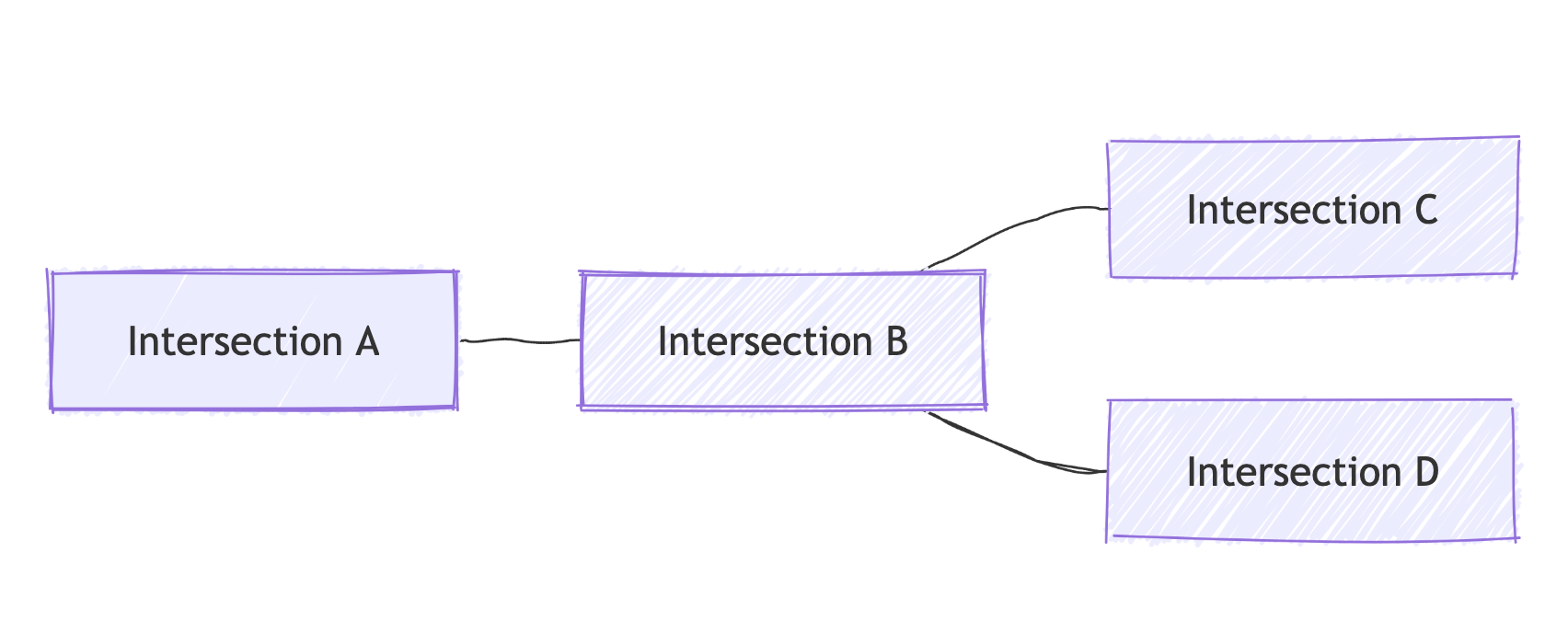
By breaking down a road system into vertices and edges, we can model a city, a region, or even an entire continent in a consistent mathematical structure. A street map with thousands of intersections and segments becomes a navigable graph of nodes and lines.
But edges and vertices alone are not enough. Real-world driving comes with rules. To make the network useful, each element must carry attributes that reflect those rules.
Attributes That Define Movement
Each edge in the road network needs more than a shape. It must encode the conditions under which vehicles can travel along it.
- Directionality. Some roads are one-way. In graph terms, that means the edge exists only in one direction. From A to B, the edge is valid. From B to A, it is not. Navigation software must respect this or it would happily send you the wrong way down a one-way street.
- Weights. Routing depends on comparing alternatives. Each edge is assigned a cost, also called a weight. That cost might be distance in meters, expected travel time in seconds, or a more complex combination that reflects tolls, fuel use, or reliability. The weight is what routing algorithms minimize when they search for the best path.
- Hierarchy. Road classifications influence preferences. A navigation engine usually favors arterial roads and highways over side streets. The hierarchy is encoded as attributes so that routing can prioritize fast, reliable roads while still using local streets where needed.
- Geometry. An edge is not a straight line mathematically. For map display and instructions, each edge carries its polyline geometry—the sequence of coordinates that shows the curve of the road. Without geometry, routing could compute paths but could not produce realistic maps or turn-by-turn guidance.

These attributes transform a simple graph into a model of real-world driving. They ensure the network reflects not only where roads are, but how they are used.
Modeling Constraints: Barriers and Turn Restrictions
Drivers know the frustration of seeing "No left turn" signs or encountering a gate that blocks a road. For a network to be truly routable, it must model these constraints.
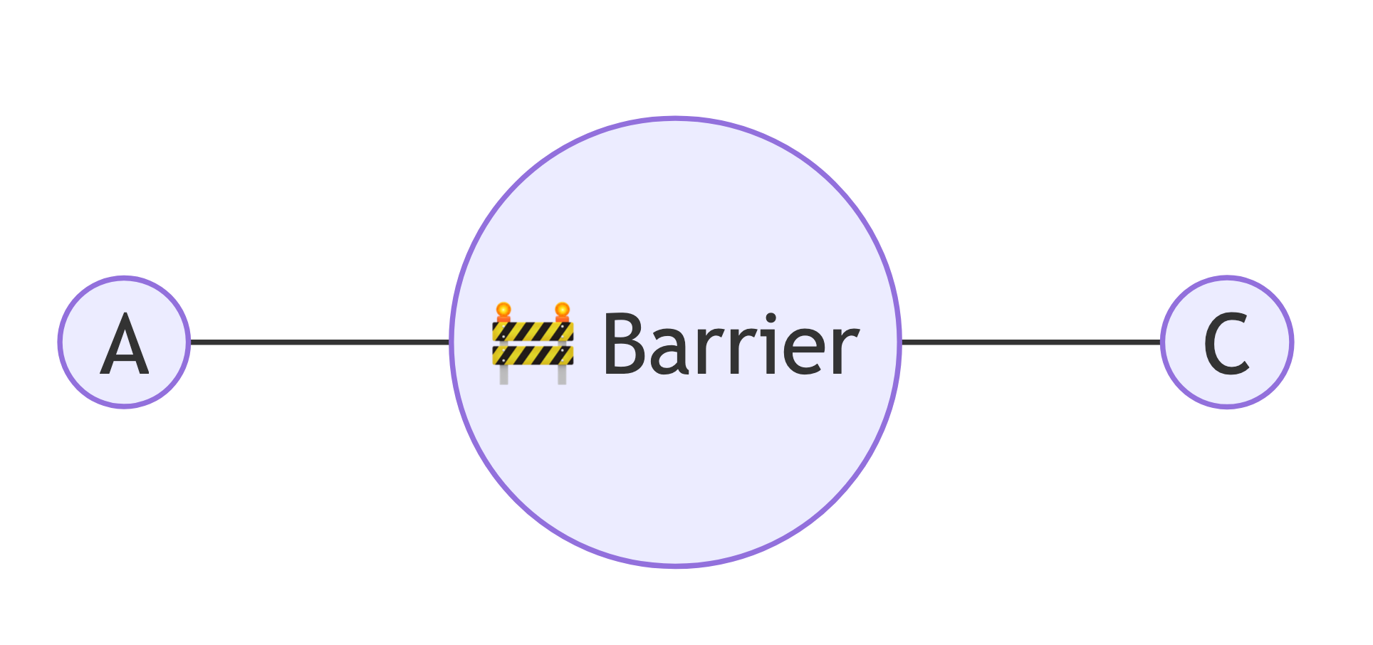
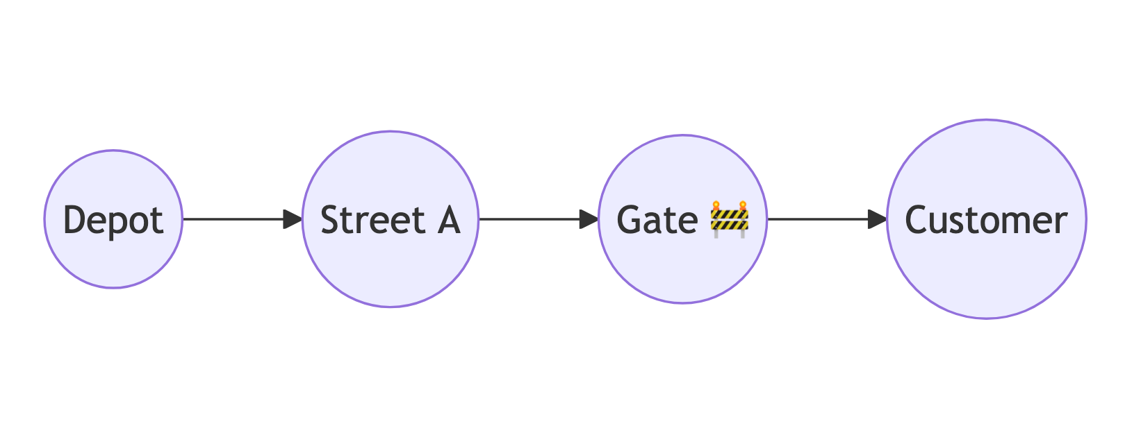
- Barriers. Some vertices are blocked: a bollard in a pedestrian zone, a gate to a private property, or a barrier that allows bicycles but not cars. These nodes effectively stop traversal. In the network, such vertices either connect to no edges for that vehicle type or carry infinite cost.
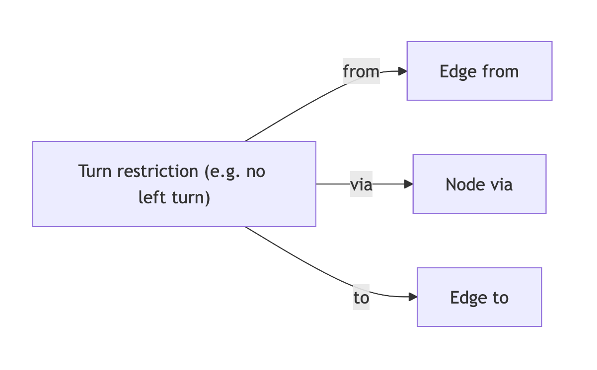
- Turn restrictions. At intersections, not every movement is allowed. You may be able to turn right or go straight, but not left. Or U-turns might be forbidden. In graph terms, this means that not every pair of incoming and outgoing edges at a vertex forms a valid connection. Routing engines must check turn restrictions whenever they compute paths.
- Access rules. Some edges are available only to certain users. Bus lanes, tram tracks, pedestrian streets, and restricted industrial roads all fall into this category. These are either removed from the graph for unauthorized modes or given prohibitively high costs.
- Conditional restrictions. Rules can change over time. Some roads are closed at night, some turns are restricted during rush hour, and some mountain passes are open only seasonally. This adds a temporal dimension to the network. A “valid edge” is not absolute but conditional on time of day or season.
Encoding these constraints is what separates a naive graph from a routable one. Without them, algorithms might suggest impossible or illegal routes.
Making the Network Routable: Algorithms
Once the road network is represented as a graph with attributes and constraints, routing algorithms can come into play.
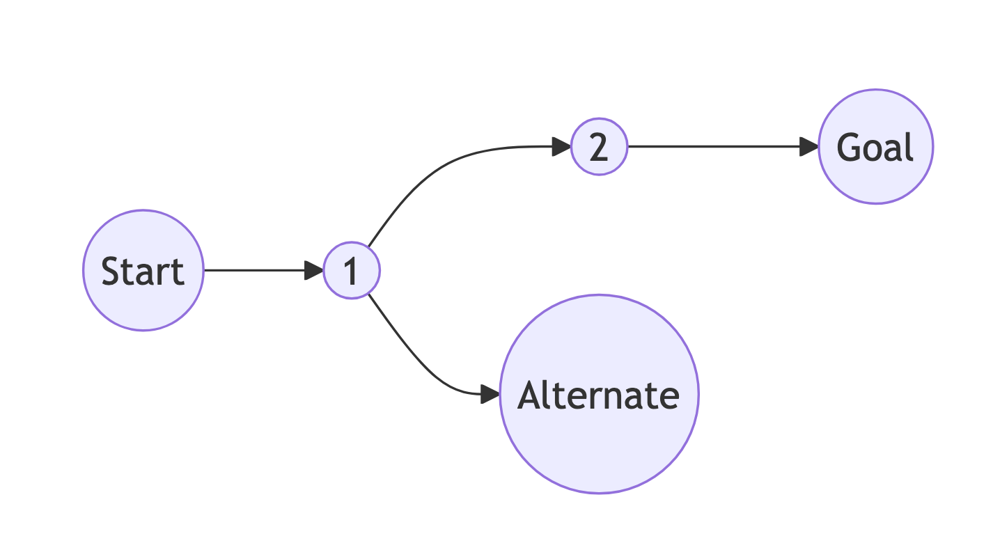
- Dijkstra’s Algorithm. The classic shortest-path algorithm systematically explores edges from the start vertex, always expanding the lowest-cost option until the destination is reached. It guarantees the optimal route but can be slow on very large networks.
- A* Search. An enhancement to Dijkstra, A* adds a heuristic (usually straight-line distance) that guides the search toward the destination. This reduces the number of nodes explored and speeds up results.
- Advanced techniques. For networks the size of Europe or North America, even A* can be too slow if done naively. That’s why modern engines use preprocessing techniques like Contraction Hierarchies or Multi-Level Dijkstra. These methods add shortcut edges or partition the graph to reduce the search space. The result: continental-scale routing in milliseconds.
These algorithms are the beating heart of navigation software. But they can only work efficiently if the underlying network is carefully prepared.
Beyond the Basics: Enhancements
A truly useful road network model goes beyond static graphs. Several enhancements make routing realistic and responsive.
- Traffic data. Real-time or historical traffic conditions adjust edge weights dynamically. A highway segment that normally takes 30 seconds might take 90 during rush hour. Routing engines integrate traffic feeds to recalculate travel times on the fly.
- Turn costs. Not all turns are equal. A left turn across heavy traffic is legal but slow. Engines assign penalties to such maneuvers, making the chosen route more realistic.
- Ferries and multimodal links. Edges don’t always represent roads. They can also represent ferry crossings, tunnels, or transfers to trains or subways. Multimodal routing depends on treating all such connections as edges in the same graph.
- Safety and accessibility. Some networks include additional attributes: accident risk, road lighting, steep gradients, or wheelchair accessibility. These allow specialized routing for different user groups.
With these layers, a network becomes not just a static representation of roads but a digital twin of mobility, reflecting the conditions drivers, cyclists, or pedestrians actually experience.
From Graph to Directions
The final step is turning a computed path into human-friendly guidance. This requires more than just knowing which edges form the route.
- Map matching. The system maps your GPS position to the nearest edge in the graph. This is harder than it sounds because GPS is imprecise, and multiple roads may be close. Sophisticated map-matching algorithms decide which road you’re actually on.
- Path computation. The algorithm finds the optimal path, respecting directionality, weights, and restrictions.
- Instruction generation. The route is converted into instructions like "Turn left onto Main Street in 200 meters". This involves analyzing edge geometries and attributes, grouping small edges, and choosing the right level of detail.
- Presentation. The polyline geometries of the edges are stitched together and displayed on the map, with highlighted turns and labels.
This pipeline from GPS input to rendered map and spoken instructions happens in fractions of a second, thanks to the underlying graph model.
Beyond Maps: Routability as the Hidden Backbone of Mobility
For developers, product owners, logistics managers, and CTOs, the idea of a routable road network is far from academic. It explains why navigation sometimes produces routes that feel counterintuitive: the cause is often not the algorithm itself but the data behind it. An unmapped turn restriction, a misplaced barrier, or an incorrect one-way attribute can send vehicles along detours that make little sense on the ground.
It also reveals where genuine innovation is happening. Faster algorithms, the integration of real-time traffic, and the use of AI for predicting travel times all build on the same underlying model of nodes, edges, and constraints. Once you understand this foundation, it becomes easier to separate true progress from cosmetic improvements.
Routability also broadens the horizon of what is possible. A well-structured network is not limited to cars: with the right attributes it can guide bicycles through safe corridors, optimize routes for trucks with size and weight restrictions, assist emergency services where seconds matter, or ensure accessibility for pedestrians. What changes is not the model but the richness of the data that feeds it.
Perhaps the most important lesson is that routing accuracy depends less on sophisticated algorithms than on the quality of the underlying data. Completeness, consistency, and timely updates matter more than clever tricks in code. Every error or omission in the network, whether a missing restriction or an outdated classification, translates directly into inefficiency, higher costs, or even safety risks.
Seen this way, routability is not an abstract construct. It is the hidden backbone of modern mobility, shaping the reliability of logistics operations, the efficiency of transport systems, and the everyday experience of millions of travelers.
Looking Ahead
As road networks become smarter, the graph model will continue to evolve. Real-time sensors, connected vehicles, and AI will add layers of dynamic information: live congestion data, accident detection, even predictive travel times. The fundamental model of edges, vertices, and restrictions will remain. But it will be enriched by continuous streams of real-world data.
In the future, the line between "map" and "traffic system" will blur. Road networks will not only represent the world; they will interact with it, receiving data from vehicles and sending guidance back in real time.
For now, the essential lesson is simple: behind every route suggestion is a graph, carefully built from road segments, intersections, and rules. What seems like magic is really the power of graph theory applied to geography.
Conclusion
A routable road network is not a picture. It is a structured, rule-based model of mobility. It starts with vertices and edges, grows richer with attributes and constraints, and becomes usable through algorithms that compute optimal paths. Barriers, turn restrictions, and access rules make it realistic. Responsiveness is achieved through enhancements such as traffic data and turn costs.
By understanding this, we can better appreciate the hidden complexity in everyday navigation. And for those building products or managing logistics, we can see where improvements matter most: high-quality data, accurate rules, and efficient routing engines.
Every time a driver gets a clear set of directions, the system has solved a complex graph problem in milliseconds. That is how a road network becomes routable, and why it is one of the most fascinating examples of applied computing in daily life.
Cheers!